For some of my other hikes in the preserve see: https://hooknfly.com/2023/12/15/hiking-the-fabulous-trails-of-the-fakahatchee-strand-preserve-the-south-main-tram/; https://hooknfly.com/2022/11/30/hiking-the-fab-four-trails-of-the-fakahatachee-strand-preserve-state-park-1-the-west-main/; https://hooknfly.com/2023/01/26/hiking-the-fab-four-trails-of-the-fakahatchee-strand-preserve-state-park-2-the-east-main/
December 2023
The Fakahatchee Strand Preserve State Park has an array of hikes to explore the wonders of the Everglades. Its most popular trails like the East and West Tram are several miles long—intriguing treks, but maybe a little too much for some. Fortunately, there are several inviting shorter walks, especially for little tykes and seniors, that offer plenty of natural wonders. One of my favorites, called the Yellow Trail, starts at Gate 3 on Janes Scenic Drive about 2.8 miles from the mile zero marker at the park entrance gate.
Like many of the park’s trails, it follows a railroad tram line from old logging days, this one a short spur into the wild heart of the strand where it peters out near a reputedly haunted cabin! The trail is flat and mostly open with calf-high vegetation and thorny vines in spots, calling for long pants.
A sign with the #3 on the dual entry posts marks the turnout on the right side of the road that makes for easy parking.
Keep an eye out for the Great Egret gatekeeper who maintains a close watch over the slough at the entrance to the Yellow Trail.
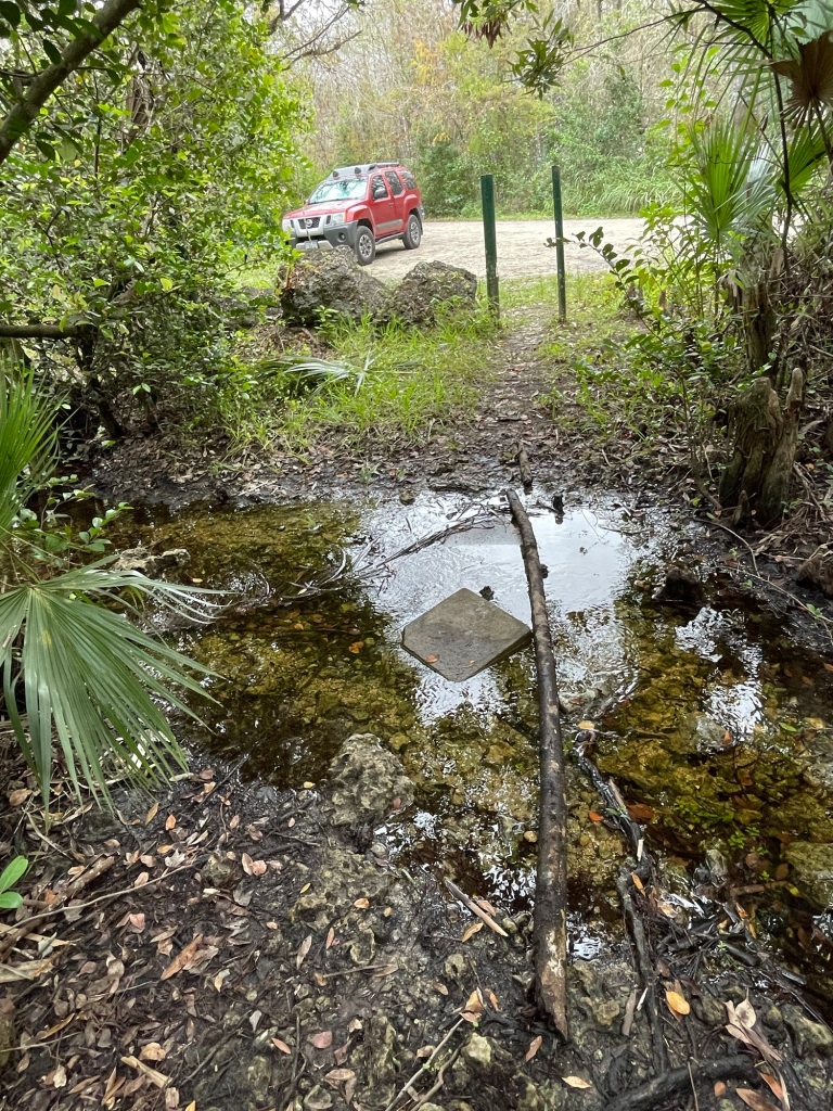
With all the rain we have had recently in the so-called “dry season,” I have to do a hop and skip to ford the shallow flowage running across the trail. A school of minnows darts wildly about, a perfect stopping point if my granddaughter Aly was along. Be sure to bring a little net for the kiddies for some play time.

I take a few steps up the trail and am immediately buzzed by a couple of striking Zebra butterflies having lunch on some white Beggartick blooms. The Beggarticks are an important source of food for butterflies, bees, and insects. I snap away with my phone camera and then continue on.
The trail is bracketed by two troughs where mucky soil was dug out and piled up for the tram line road bed when the spur was built over 75 years ago. It is filled with slow moving water. I stop at each opening in the vegetation to peer into the swamp jungle, a veritable botanical park. Just keep an eye out for alligators! At one point I spy a stand of big Bull-tongue Arrowhead plants immersed in the water. They are an important cog in the swamp ecosystem, providing food for many critters and shelter for smaller ones.


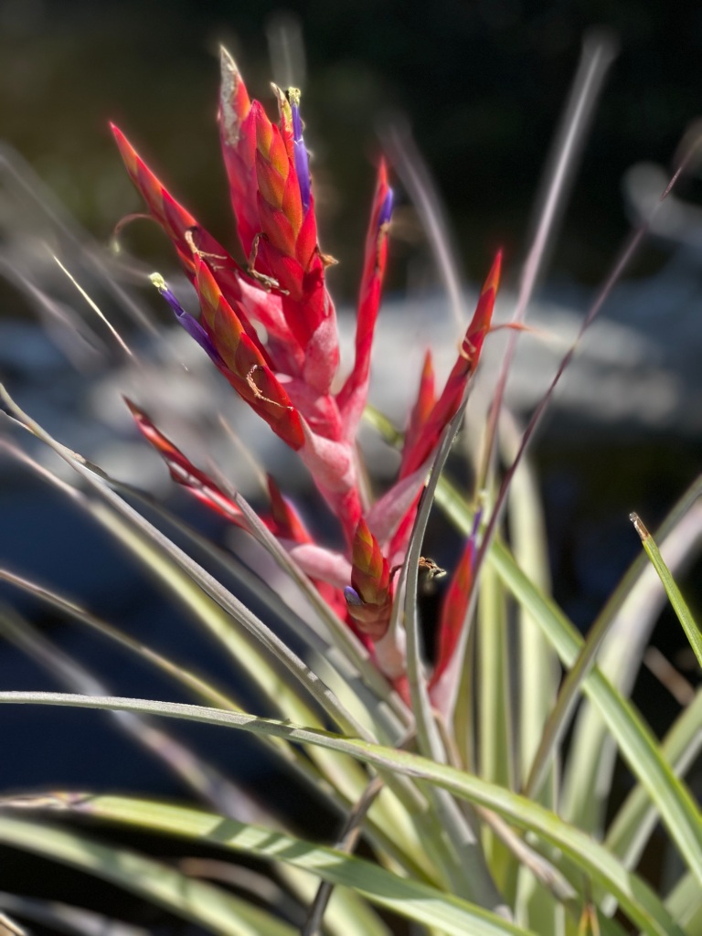
Above are dozens of graceful epiphytes clinging to their host trees. They use their hosts as secure foundations, but are not parasites, living instead by taking water and nourishment from the air! In spring my favorite known as a Cardinal Airplant will burst into bloom with distinctive, showy red and purple flowers.


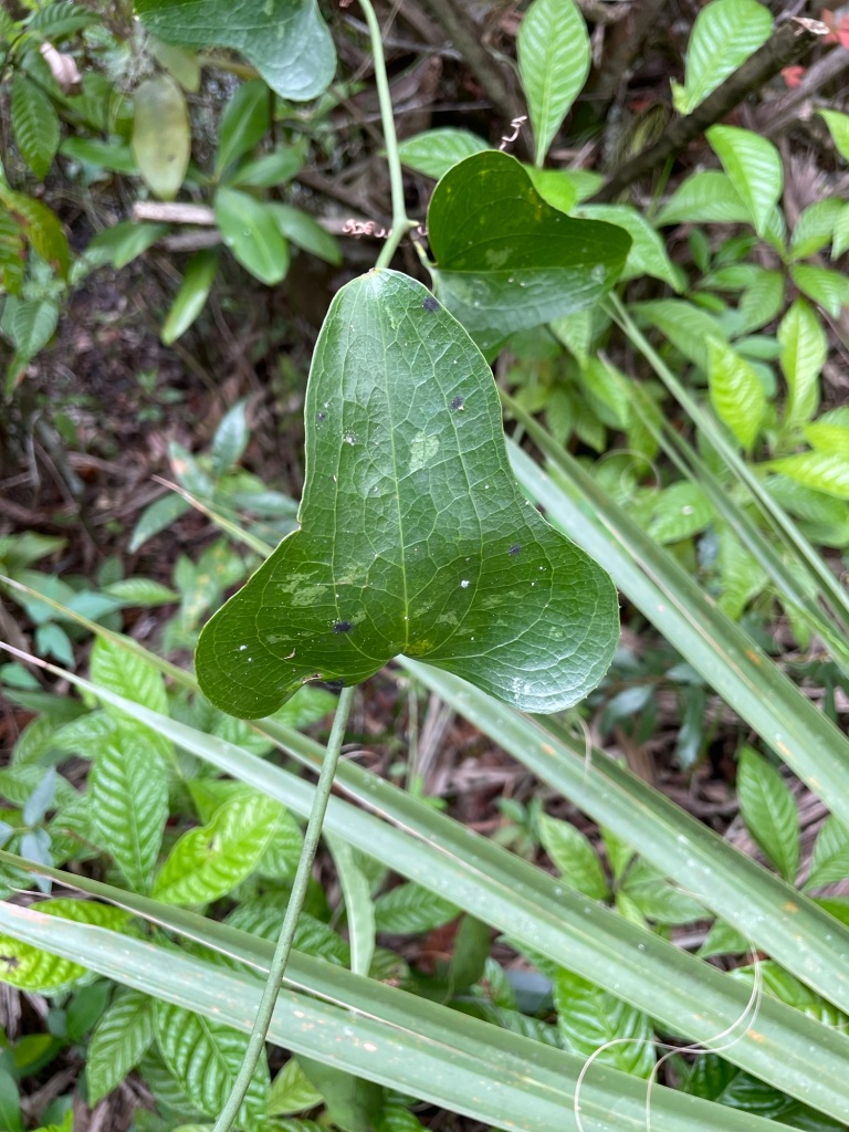
Other plants like Virginia Creeper, a member of the grape family, also cling to tree branches and trunks. Earlier in the year they have fragrant flowers that give way to blue-colored berries, then to beautiful reddish orange leaves in the fall. Their tendrils have adhesive pads allowing them to cling to mostly anything! Then there’s the prickly ivy called Saw Greenbrier. Watch out for those thorns! Interestingly, those needle-sharp spikes don’t keep wild turkeys, squirrels, and songbirds from munching on the leathery, triangular leaves.


As I continue north, it becomes clear that this trail gets far less foot traffic than the major trails—a welcome harbinger. I won’t see another soul all morning. The other thing that catches my eye is that the trail isn’t framed by giant sword ferns that dominate elsewhere in the preserve, but by shiny green wild coffee plants that carry the appropriate scientific name of Psychotria nervosa. I spot a few that haven’t been stripped of their bright red berries by birds.


Suddenly the quiet is interrupted by a hubbub ahead just off the trail in the slough—maybe a gator?? No, it’s a beautiful Great Egret that soars into the air, somehow dodging all the overhanging branches. He’s followed by a loudly squawking Green Heron, also known as a chucklehead for its distinctive cry.


I keep my eyes peeled for birds and reptiles as I get further into the jungle. I spot something creating a disturbance in the brush along the trail. Maybe a lizard? Turns out it’s one of my favorite insects, a big Eastern Lubber Grasshopper.
Sporting striking orange, yellow, and other colors, they grow up to three inches long. Eastern Lubbers colorful garb might attract attention from hungry birds, but they secrete a noxious dark thick foam from their thorax when disturbed—not very tasty!! It will definitely stain your fingers. He poses for a quick photo and is kind enough not to douse me with what as kids we called tobacco juice, then hops merrily into the thicket.
As I walk into a small clearing, I am greeted by, of all things, a plastic chair. I think I must be getting close to the haunted cabin!! I hike on a few minutes, keeping my eyes peeled for ghosts, and come to a big circular clearing with a rusting propane gas tank peeking out of the brush at one end. But there is no sign of any cabin or other human habitation of this world or otherworldy.


Two trails split off the clearing, and I take the one to the right (east) because it looks most intriguing. It soon narrows, and then I am sloshing in some shallow water. No worries, I have on my waterproof hiking boots. Here and there are animal and bird tracks, and I can hear a ruckus ahead, but can’t see any wild things. A few minutes further on, the trail opens up into a stand of striking bald cypress. But that’s as far as I can go—the trail drops off into a foot of water.
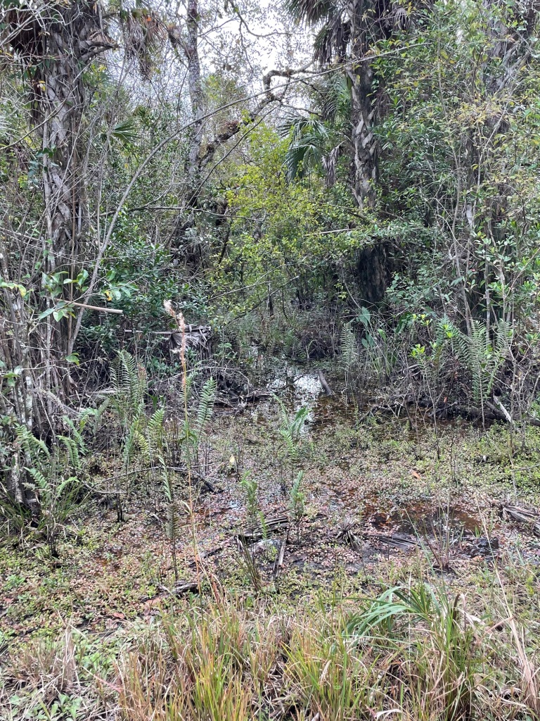


I snap a few photos of the lovely jungle and head back to the opening. On the way, I see something glinting in the sunlight just off the trail—a big snail shell. It looks to be a Florida apple snail, although there are three very similar apple snails that are invaders from other countries.


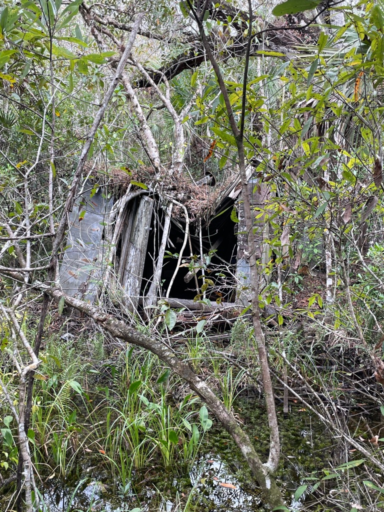
I trace my way back to the clearing with the gas tank and take the other fork. As I amble up the trail I am stopped short in my boots—dead ahead I see something of the trail obscured by a tangle of trees, vines, and bushes that looks out of place. I creep forward cautiously. A shiver runs up my spine when I realize it’s a big dark opening in what looks to be that spooky cabin I have heard stories about.
I snap a few photos and a video for my little granddaughter Aly back in Colorado, keeping my eyes open for any ghosts or goblins.
I make my way warily to the hole where a window used to be and peer in. It looks like a tornado has swirled through the cabin. There’s a mattress and springs that appear have been used by somebody or something.
Then I hear a crash as something smacks down on the roof. I don’t wait to find out what it is as I turn tail and hustle out of there back to the trail.
After my nerves calm down, I continue up the trail, peering behind me from time-to-time just to make sure I am not being followed. It’s obvious the path north of the cabin, thick with vegetation, doesn’t see many hikers. Very soon the path gets very wet—I have to broad jump over and tippy-toe around water trickling across the trail. Finally, I have to call it quits when I reach a stretch where the water is higher than the tops of my boots.
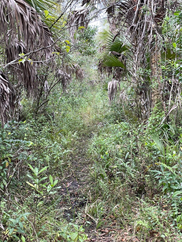

Hopefully as the dry season takes hold I will be able to return in a few weeks and explore further up. Google Maps shows a distinct line that extends another mile or so to the north. Who knows what I might find….or what might find me!!



 from the rugged peaks along the Divide—like Cochetopa and Saguache Creeks– were finally down and in fishable shape after a very wet summer. But this new water was also on my radar. I had read about Pauline Creek in the fine guidebook, 49 Trout Streams of Southern Colorado, that the authors Mark Williams and Chad McPhail had stumbled on and raved about: “…rest assured, once a dry fly or beadhead breaks the surface, so will a trout.” When I drove over the creek on my way to fish in the wilderness area 10 miles up Forest Service Road 794, I was immediately skeptical. At that point, Pauline hardly amounts to rivulet status, only a few feet across, although some beaver ponds upstream looked interesting. That night, after a fabulous day casting to trout on Cochetopa Creek in the wilderness area, I pulled out a topo map (National Geographic #139 La Garita/Cochetopa Hills) and found that a few miles below the road where Pauline was hardly a trickle, several streams added their waters. That looked more promising, so early next morning around 7:30 a.m. I trundled down a 4wd track off FS 794 above where Pauline empties into Cochetopa Creek. The jeep trail ended abruptly at a big cliff. The good news as I peered over into the canyon was that the creek indeed had more water here, and the wide canyon floor was punctuated by several good-looking beaver ponds that were sure to hold some sizable trout. The bad news: My aging knees were already protesting at the thought of scampering down that precipitous incline—a good 200-foot drop—in my waders and wading boots and carrying a long fly rod.
