“To go ape means to ‘go crazy,’ is 1955 U.S. Slang. In emphatic form, go apesh**.”
Dictionary.com
Late Fall 2017
For another of my articles on fishing Grape Creek, see my Fall 2019 post:
Exploring Grape Creek In The Hidden Recesses Of Temple Canyon (near Canon City, CO)
Caveat: Before fishing Grape Creek, be sure to check the water level below DeWeese Reservoir on the Upper Arkansas Water Conservancy District Website. Levels from 10-40 CFS are best. Below 10 may not be fishable.
It’s early November, a time I am usually long-gone to my snowbird hideaway near Everglades City in Florida. But until things get back to a semblance of normality after the devastation of Hurricane Irma (80% of houses destroyed or with major damage) I’m sticking around my cabin in Colorado. Thanks to a prolonged Indian Summer–dry, warm late autumn weather–I am still able to get out and explore some new waters.
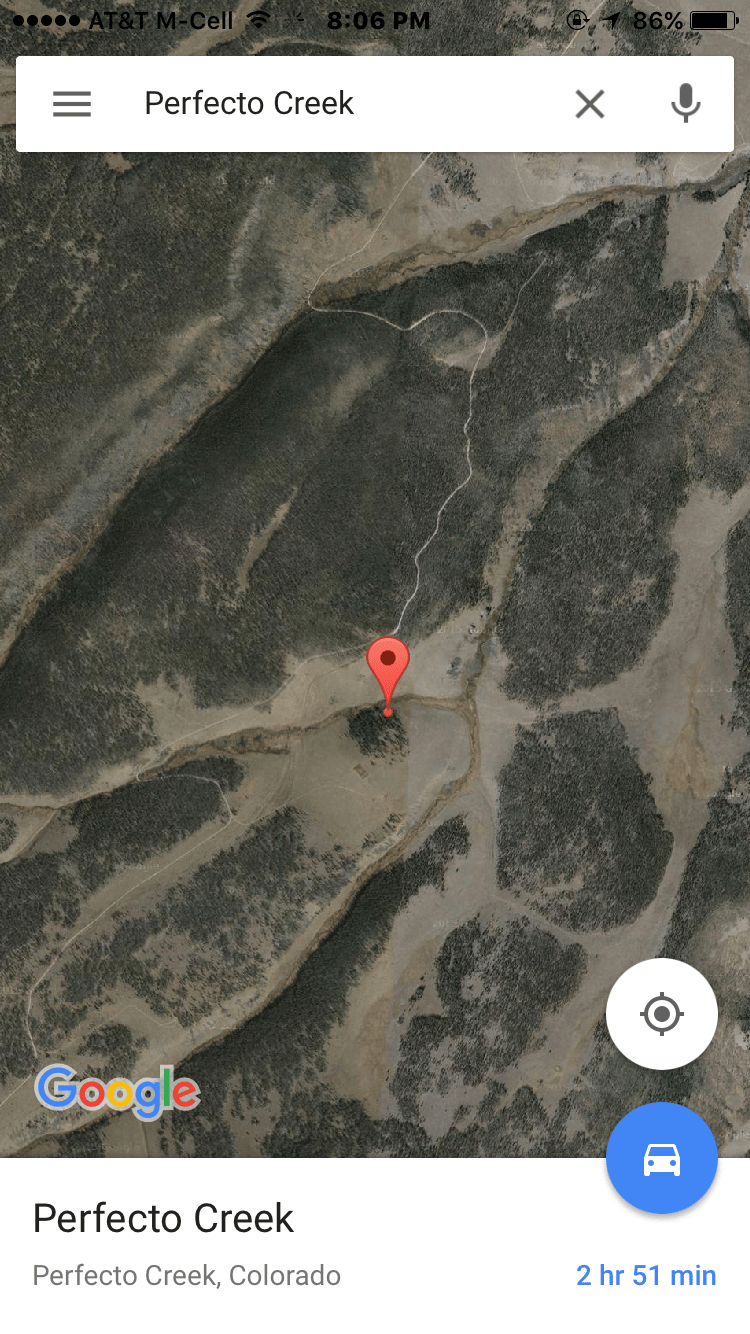
I’ve had my eye on Grape Creek, a small stream secluded in a rugged canyon a couple of hours east of my place near Salida. With a little on-line sleuthing and some timely help from the angling gurus Taylor and Bill Edrington at the venerable Royal Gorge Anglers Fly Shop in Canon City, I have pinpointed one of the few public access points in the middle of a 30-mile long canyon between Westcliffe and Canon City where Grape Creek lies hidden.

I hit the road about 9 a.m. when it’s hovering around 45 degrees. It’s still cold, so gentleman’s fishing hours are perfectly acceptable. By 10:15 I am making the turn onto Oak Creek Grade, a good paved then gravel road, just east of Westcliffe. It’s a 20-mile, 45-minute drive from here to the turnoff to Bear Gulch road (BLM #6627), the only public access to Grape Creek within miles. (Note: For those coming from the east, you can also access Oak Creek Grade out of 4th Street in Canon City.)


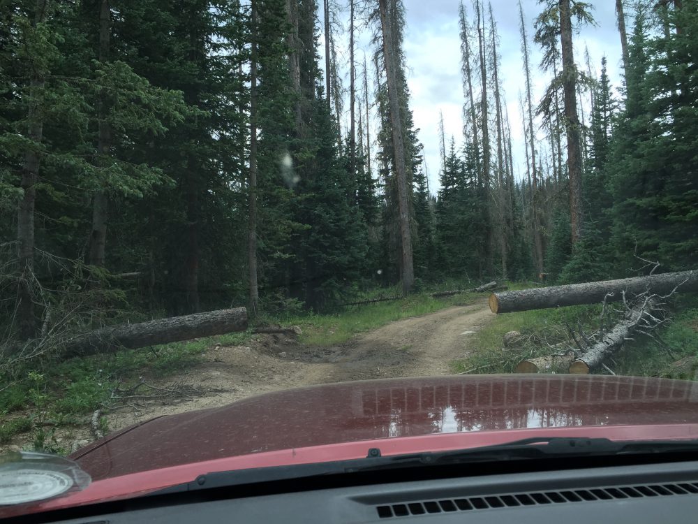
The first mile or so on the Bear Gulch road is decent, but the final three miles are a rough 4WD-only stretch where I rarely get going above 10 mph. The last mile through BLM public land clearly hasn’t seen a road grader in years.

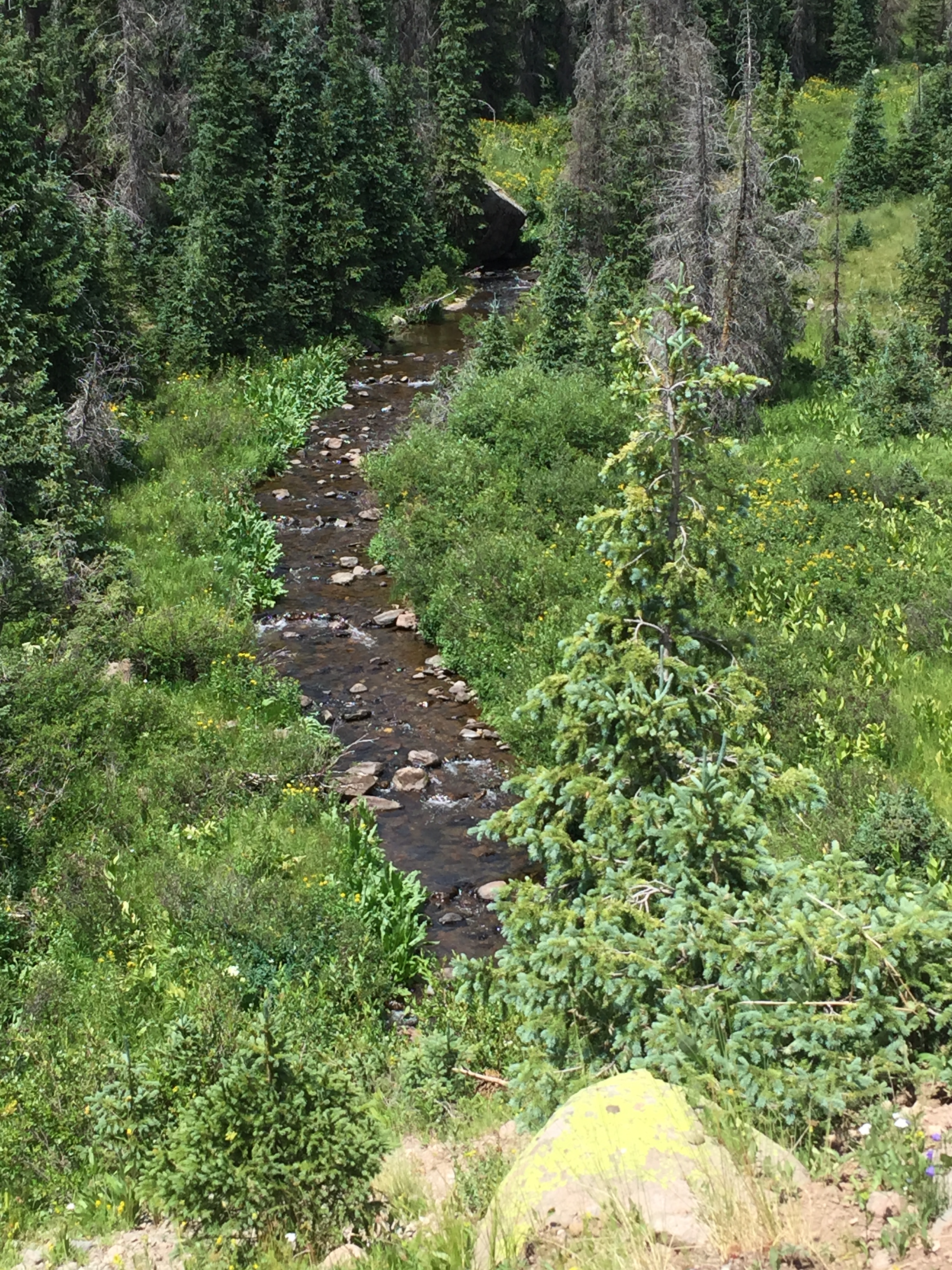
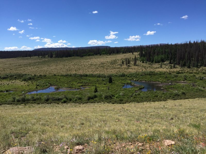
But when I get my first look at the creek from the parking area above, I know it was worth it. Although the small creek would be suitable for wet-wading in the summer when it gets hot in this canyon, I figure it will be icy cold now so I suit up in my waders with three pair of socks covering my tootsies! It turns out to be a good decision. I tread carefully down the short, but very steep trail to the canyon floor and immediately see some decent-sized trout scurrying for cover in a big pool above a partially washed out beaver dam. The water is crystal clear, courtesy of DeWeese Reservoir, a big irrigation lake miles upstream near Westcliffe from whence the creek flows.


I do some reconnoitering with my Google Maps app and see that downstream there appear to be several good looking bends in the fast-moving creek that promise deeper water where bigger trout like to take up residence. Off I go. I follow a path that criss-crosses the creek, then about a half mile downstream am walking on what appears to be some sort of dike….or maybe an old narrow railroad grade–paralleling the water. Naw, couldn’t be a railroad grade–this canyon is too narrow and rugged. Engineering impossibility! But that’s exactly what it is! Old images on-line show the line ran alternatively along the canyon bottom and on the canyon walls where the grade was chiseled out of sheer rock cliffs!
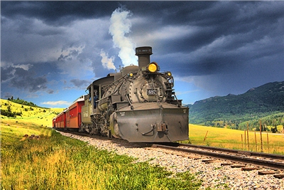
Back in the 1880s, the Denver and Rio Grande Railroad somehow pushed a rail line up the canyon from Canon City to reach the rich silver and iron ore mines and big ranching operations in the Wet Mountain Valley around Silver Cliff and Rosita. The valley had been the summer hunting grounds of the Ute and other Indians tribes like the Comanche and Plain tribes for centuries. Grape Creek was the easiest route from the Great Plains to the valley (which isn’t so wet) that is framed by the soaring Sangre De Cristo mountain range. Famed explorer John Fremont stumbled on the creek downstream in the early 1800s and used it to explore the mountains to the west until he was arrested by the Spanish for trespassing on “their” territory.
By the 1860s miners and settlers were pushing into the valley, and in 1877 Custer County, named after the famous general who had died a year earlier, was created out of the western half of Fremont County (the Bear Gulch access is actually in Fremont County.) One early ranch owned by the Beckwith brothers had 13,000 cattle at its peak!! In 1881, the railroad carved out the perilous route through Grape Creek Canyon to cash in on the mining and ranching wealth, but after a series of disastrous floods, abandoned it only eight years later. After the mines played out in the late 1800s, Custer County returned primarily to ranching and farming. Grape Creek was dammed in 1902 to provide reliable irrigation water for the county’s agricultural enterprises as well as fruit orchards downstream around Canon City.
Today Custer County retains a feel of the real West where ranching still rules the county’s economy–several hundred ranches look after almost 10,000 cattle, about double the population of people in the valley!

However, in this very conservative county, retirees, new agers, and tourists are making their presence felt. Much of the access to Grape Creek between DeWeese Reservoir and Bear Gulch is controlled by the Bull Domingo Ranch, a 14,000-acre upscale subdivision of some 370 homes on 35-acre plus parcels. So unless you are on friendly terms with one of the local homeowners or hire a guide at Royal Gorge Anglers who have special access to the water, Bear Gulch is your ticket. Fortunately, Bear Gulch gives you access to miles of public water upstream and downstream to explore.
It’s 11:30 by now and I am about a mile below the trailhead. The sun is just beginning to peek over the canyon rim and around some of the surrounding peaks, but some of the pools are still in the shadows. It’s chilly, but thankfully the wind is light and things will warm up to 65 degrees by mid-afternoon. I am carrying two rods, one rigged with a #16 Royal Coachman Trude as the dry and the other on a dropper with a #16 beadhead green hotwire caddis nymph. The other is rigged with two nymphs, one a light tan caddis to match the little greenish/ cream-colored caddis larvae I find wriggling under some of the rocks in the streambed and the other a #18 bright lime green caddis imitation that has proven itself this fall on other streams. The water is very cold, clear, and surprisingly high for this time of year courtesy of all the rain in August and early snows in the high country that have already melted off. The state water gauge in Westcliffe reads 25 CFS (accessible on-line by Googling Colorado Water Talk.), still eminently fishable in light of the fact the creek can reportedly blast through the canyon at 500 cfs in the spring!!
The first two good-looking pools are partially shaded, and while a manage a couple of light hits on the hotwire caddis nymph, I don’t connect. For the next hour or so the fishing is sporadic. I catch a few small brownies, but don’t see many fish and nothing on the surface.


Not until about 1 p.m. when the sun is bright in the sky and the pools warm up do the trout really start to move. Then it’s steady action for browns on the hotwire caddis with an occasional one on the dry. The trout have moved into the shallows to sun themselves, and naturally I spook a bunch of them even when I creep upstream stealthily and cast from my knees. It’s like they have eyes in the back of their heads! To make things even more challenging, in most pools I am looking directly into the sun or the pool is in mottled shade and light, which makes seeing the fly nearly impossible. I tie on a piece of fluorescent yellow yarn as a strike indicator about two feet above the dry, and that helps, but often when I can’t see the strike indicator let alone the dry fly, I have to watch the end of my line where the leader is tied on for the slightest movement that may signal a strike.

But it’s rewarding when I do connect with a frisky brownie–most 10-11 inches with a few pushing 13. Interestingly, I get only a few hits and catch only a couple on the deeper running, weighted double nymph rig, even in the deep holes where I expected some bigger ones to be finning. I have heard tales of 17-20 inch fish in Grape Creek, and by the looks of these pools I am a believer….a good reason to come back next summer!

After a break around 2 p.m. for a quick lunch of peanuts, a jerky stick, and a granola bar, I continue working upstream. I had intended to get back to the trailhead by now where I stowed my usual gourmet lunch and RC Cola, but the surfeit of excellent-looking pools has trumped by growling stomach. Now I start to pick up more eager fish on the dry, which is fun as they slash out of their hiding places behind rocks to nail the fly. I work some of the stair-step rapids carefully and am rewarded with some chunky trout.
The ratio is still 4:1 in favor of the nymph, but the dry seems to be attracting the larger fish. By 4 p.m. I round a bend and am back within sight of the trailhead. I ease up carefully to a picture-perfect pool formed by cascade up against a big cliff. I loft the fly to the head of the pool, and it floats downstream then swirls into a big back eddy against the cliff face….and something whacks it hard, just where the fish should be. Of course, I somehow miss it. Another cast, same song, same verse. Looks like I blew the best pool I’ve seen all day. Dejectedly, I work the little pool just ahead at the foot of the rapids and low and behold, a nice fish nails the dry! After a worthy tussle, I am surprised to be sliding my net under a colorful rainbow that is a nose over 13 inches, the biggest fish of the day. Probably a descendant of an escapee from DeWeese Reservoir miles above.


I am thinking what a great way to end the trip, but then as I work up to the beaver dam and big shallow pool at the trailhead, I see some fish scattering. Who can resist? One even starts to feed on the opposite shore, one of the few risers I have seen all day. I make a perfect cast that drifts the fly right over his head. He studiously ignores it a couple of times, then on the third cast nails the nymph. Another of his buddies soon follows.

Now I am feeling quite the expert, but am brought back to earth when on the very next cast a big fish nails the nymph and I set the hook too hard and break off the entire rig. I momentarily go apesh**, spinning around in the water like a whirling dervish, venting my frustration. Clearly the biggest fish of the day has just owned me. That’s a telltale sign to call it a day plus the sun is sinking below the south canyon rim at 4:30, bathing the creek in shadows and dropping the temperature. But I can’t help but smile and laugh. Maybe I’ll get a shot at him on my next trip….lots of water upstream to explore.